This river walk explores the charming town of Malmesbury, the meandering River Avon and the gorgeous Cotswold countryside. Throughout this walk, you’ll enjoy breathtaking views of the medieval market town and the serene river. The Malmesbury and River Avon walk is part of the River Avon walk series, exploring one of the key places along the River Avon.
This Cotswold walk starts at the historic town centre of Malmesbury and takes you across lush fields, blooming meadows, and along delightful country lanes and quiet roads. The Malmesbury and River Avon walk explores several sections of the river in the market town itself, on the outskirts of the town and in the heart of the countryside.
Location: Malmesbury, Wiltshire
Walk difficulty: Easy
Time: 2 ½ to 3 hours
Distance: 5.4 miles (8.7 km)
The meandering River Avon
This river walk starts at the top of High Street in the heart of Malmesbury. Located in the southern Cotswolds in the county of Wiltshire, the charming market town enchants with its striking medieval architecture, its picturesque town houses and cottages, and its stunning views over the Cotswold countryside.
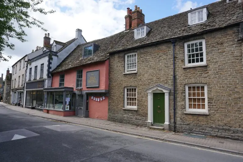
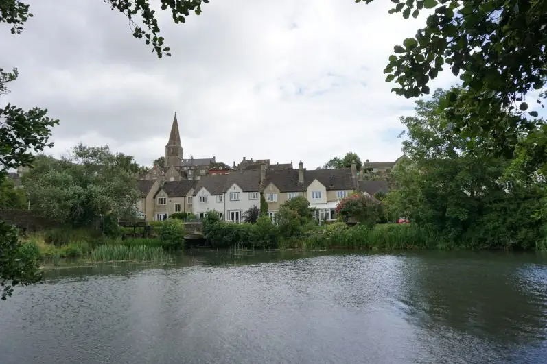
The Malmesbury and River Avon walk first leads you along the back lanes of the medieval town to the riverside. This Cotswold walk then follows the River Avon across the park known as St Aldhelm’s Mead. From there, you can enjoy stunning views of the market town and spot Malmesbury’s town houses as well as the tall spire of the Bell Tower.
This river walk takes you past the imposing Avon Mill, a late 19th century silk mill and a key landmark in Malmesbury. This Cotswold walk then crosses one of the main roads and leads you down a small lane to verdant fields. You meet the River Avon once again and follow it as it meanders across fields and along country lanes.
The gorgeous Cotswold countryside
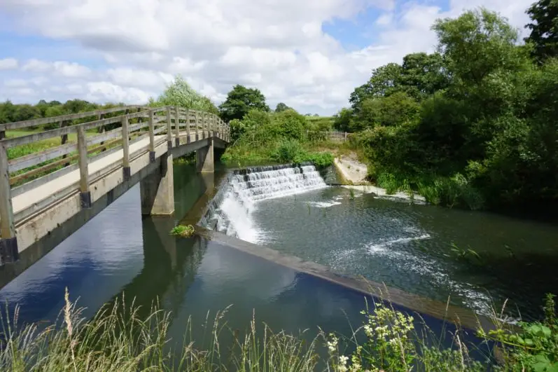
The Malmesbury and River Avon walk crosses a wooden bridge over the river and the Cowbridge Weir. From the bridge, you can admire the serene river, the charming riverside, the delightful weir and the surrounding Cotswold countryside.
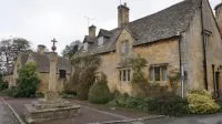
This river walk then crosses further fields, following Woodbridge Brook, and leads you through the hamlet of Crab Mill. Consisting of delightful medieval farm houses, converted farm buildings and country cottages, Crab Mill is full of charm.
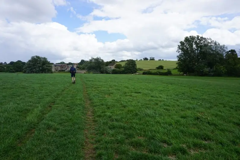
Leaving the delightful hamlet behind, this Cotswold walk takes you across lush meadows and along the winding Woodbridge Brook. Walking along the river bank, you follow the twists and turns of the river and loop back to the charming hamlet of Crab Mill.
The charming town of Malmesbury
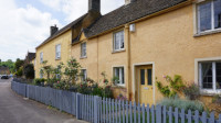
Following the River Avon, you make your way back to Malmesbury across verdant fields and along country lanes. From afar, you can catch a glimpse of the tall Bell Tower and Malmesbury’s medieval houses. You then reach the market town and walk along its streets, spotting the charming cottages, and occasionally the serene river, along the way.
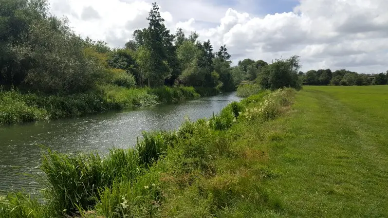
The Malmesbury and River Avon walk follows the river on the outskirts of town, taking you across fields and meadows, and through woodland and the Conygre Mead nature reserve. Along the way, you can enjoy lovely views of the Abbey House Gardens, a country house garden along the River Avon.
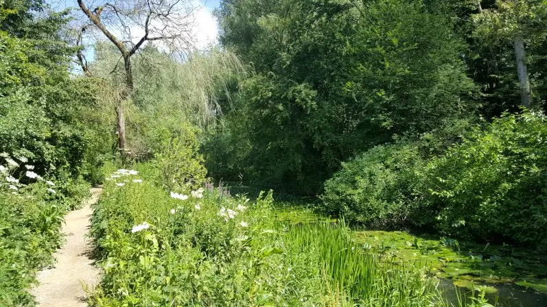
This Cotswold walk then leads you up a woodland lane and back to the heart of Malmesbury. As you climb the hill, you discover the back of Malmesbury Abbey and the Cloister Gardens. Built in the 12th century, only the nave of the Norman abbey remains, the great spire and tower both fell in the 15th and 16th centuries. You then make your way back to the Market Cross and the top of High Street. Explore the charming market town with the Malmesbury travel guide.
Malmesbury & River Avon walk itinerary (with map)
1. At the top of High Street, turn left onto Gloucester Road. At the street corner, take the pedestrian lane and veer right down steps. Turn right onto Burnivale Lane, cross the road and continue down an alley, following the footpath sign.
2. Cross the bridge and then over the stile, and continue along the footpath. Turn left, keeping the river to your left, and continue along the grassy bank. At the bend in the river, turn right and go into the next field. Turn immediately left, go through the gate and follow the man-made path, keeping the hedge to your left.
3. Cross the bridge and go through the kissing gate onto a lane. Cross the following two bridges and follow the woodland path. Go through the next kissing gate and keep the river to your left. Go through the following kissing gate and then the gate onto the road.
4. Turn right onto the road and continue straight ahead, walking first along High Street, then Burton Hill, Barley Close and Parliament Row. At the pedestrian crossing, cross the main road and turn right. Turn left down the second lane, following the footpath sign and keeping the fence to your right.
5. At the end of the lane, go through the gate and cross two fields, keeping the hedge to your left. Cross over the stile and continue straight ahead, aiming for the gap between the line of trees. Then cross over the next stile, continue straight ahead and once you’ve past the tree, veer right.
6. Cross over the following stile and continue straight ahead, keeping the hedge to your right. When you reach the end of the field, turn sharply left, staying in the same field and walking along the left bank of the river. Cross over the stile on the right-hand side of the gate onto the road.
7. Cross the road and continue straight ahead through a housing estate. Cross the bridge and continue straight ahead, keeping the river to your left. At the bend in the road, go through the gate straight ahead and cross the wooden bridge over Cowbridge Weir.
8. Continue straight ahead through two fields, keeping the fence to your left and following the signpost for Lea. Cross over the stile and continue straight ahead, keeping the river to your right and aiming for the cluster of houses.
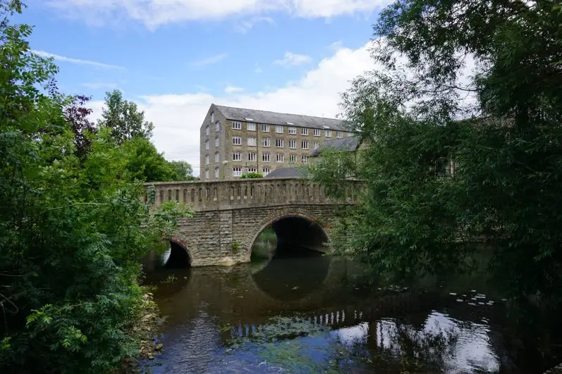
9. Go through the gate, cross the road and go through the next gate. Continue straight ahead, go over the bridge and aim to the right of the farm building. Go through the gate and follow the road through Crab Mill Farm.
10. After the road bends, cross over the stile on your left and go across the meadows, keeping the river to your left. Cross over the next stile and go across the next meadow. Veer left twice, keeping the river to your left, and follow the man-made path across a large meadow.
11. Cross over the stile onto the country lane, and at the field corner, turn left, continuing round the field. Continue straight ahead back across the two meadows you crossed earlier to the road. Follow the road back through Crab Mill Farm and at the last farm building, go through the gate on your right.
12. Veer right, go over the bridge and go through the two gates, crossing the road. Veer right uphill and aim to the right of the tree. Go through the kissing gate under the tree and continue along the field border, keeping the hedge to your left.
13. At the corner of the field, go through the kissing gate and continue along the woodland path. Cross over the stile and continue straight ahead along the tarmac path. Veer left towards the river and walk along the river bank, keeping the river to your left. Before the bridge, go back along the tarmac path.
14. Go through the kissing gate under the bridge and veer left down Baskerville Hill, following the signpost. Continue along St John’s Street and turn right before the Bowling Green, once again following the footpath sign. Then continue along the woodland path, cross the bridge and over the stile into the meadow.
15. Continue straight ahead across the meadow, cross over the next stile and follow the riverside path. Cross over the following stile, turn right onto the road, cross the bridge and the road and take the path to the right of the river.
16. Go through the kissing gate and follow the woodland path along the river. Go through the following kissing gate and turn left onto Mill Lane. Follow the tarmac lane over the bridge and up the hill. Veer left up the steps, go past the back of Malmesbury Abbey and follow the lane, then the road back to Market Cross and the top of High Street.
Download the walk itinerary PDF: Malmesbury & River Avon walk by adragonsescape.com
Find the walk map and dwnload the GPX file: Malmesbury & River Avon walk on outdooractive.com
Malmesbury & River Avon walk details
Location: Malmesbury, Wiltshire
Walk difficulty: Easy
Time: 2 ½ to 3 hours
Distance: 5.4 miles (8.7 km)
Ascent: Gentle
Trail condition: Muddy in some areas, especially in the fields
Accessibility: Not suitable for pushchairs, wheelchairs or bikes
Parking: Cross Hayes car park (pay and display) or streets in Malmesbury (limited parking spaces available)
Facilities: Toilets, shops and pubs available in Malmesbury
Notes: Please be mindful of livestock and keep your dogs on a lead
Explore more: River Avon walks
The River Avon walk series inspires you to discover key spots along the River Avon. From the Badminton walk to the Bowden Hill walk near Lacock and the Bath to Bradford-on-Avon canal walk, explore enchanting scenery and find river and country escapes.
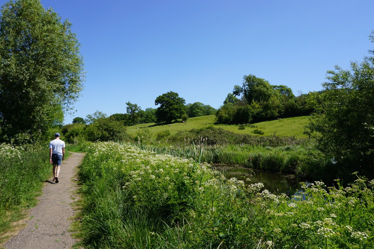



I did this walk this afternoon with a couple of friends and it was a delightful way to spend the afternoon.
The instructions were excellent and it was a lovely route.
Thank you
Thank you so much for your lovely comment Jo! I’m so glad you enjoyed this walk. If you’re looking for another river walk, you could try the Sherston & Easton Grey walk or the Bowden Hill walk near Lacock.