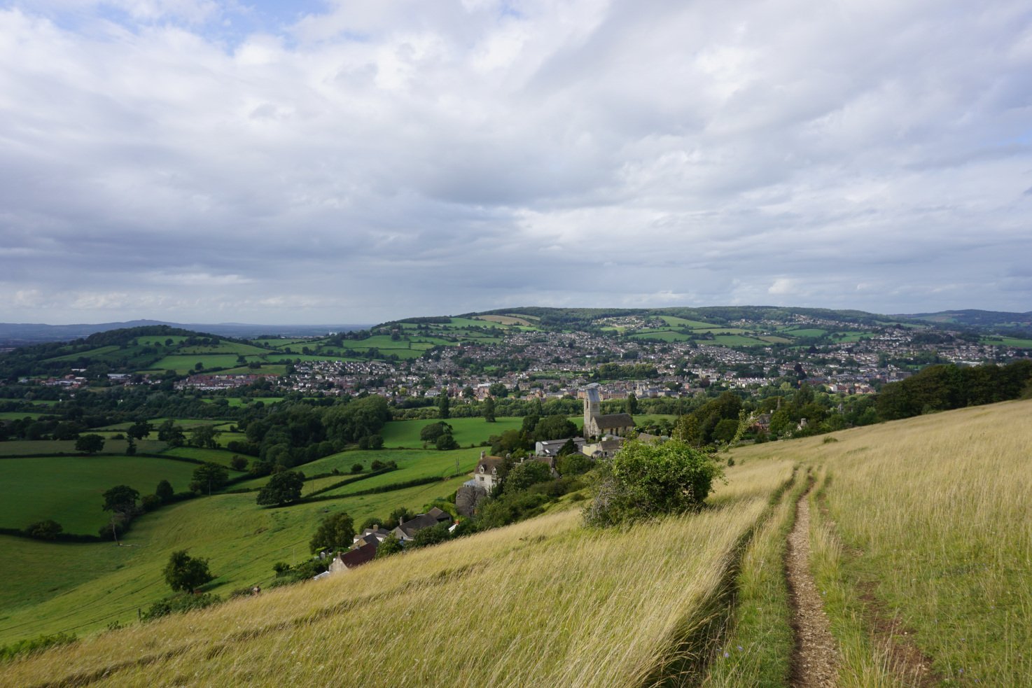
This Cotswold walk explores the picturesque village of Painswick, the breathtaking Painswick Beacon and the charming Painswick Valley. Leading you along country paths, across lush fields and enchanting valleys, and through lush woodland, the Painswick Beacon & Painswick Valley walk follows parts of both the Cotswold Way and the Wysis Way. During this circular walk, you’ll enjoy incredible views of the Cotswold countryside.
If you’re after a longer walk, you can combine this walk with the Painswick Beacon, Coopers Hill & Painswick Valley walk and wander through lush woodland to the stunning viewpoint of Coopers Hill.
Location: Painswick, Gloucestershire
Walk difficulty: Easy
Time: 1 ½ to 2 hours
Distance: 4 miles (9.6 km)
Painswick Beacon: Wild common & gorgeous views
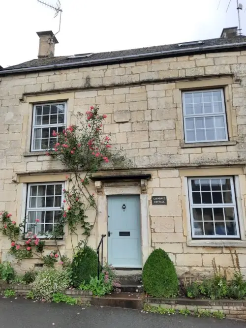
This Cotswold walk begins in the heart of Painswick. The picturesque village features the striking Painswick church and churchyard, typical Cotswold streets and cottages, and lovely country scenery. Built in the golden Cotswold stone, the village streets are a marvel to explore and the charming cottages a delight to admire.
The Painswick Beacon & Painswick Valley walk first follows part of the Cotswold Way. A well-known long-distance path, the Cotswold Way spans 102 miles along the Cotswold escarpment from Bath to Chipping Campden. After wandering along the streets of Painswick, this country walk leads you up the hill, through woodland, across a golf course and past a quarry.
You then reach the wild common of Painswick Beacon before making one final climb to the top of the hill. Set on the Cotswold escarpment, Painswick Beacon is the site of an Iron Age hill fort. From there, you can enjoy gorgeous views of the Cotswold Hills, the Severn Vale, the Forest of Dean and the Brecon Beacons mountains. While you take in the scenery, cattle graze on the wild common and golfers play on the nearby course.
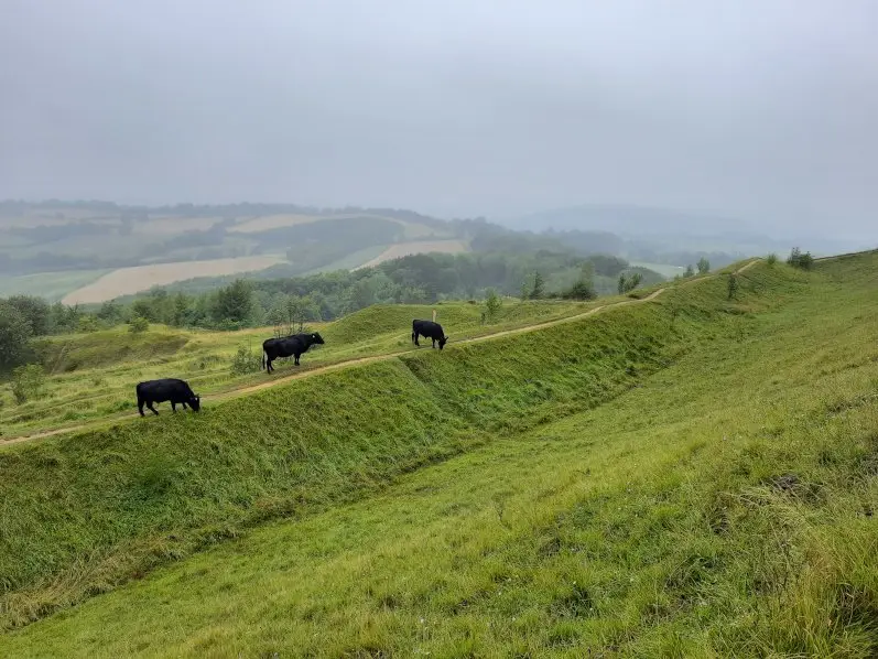
When I reached Painswick Beacon, the clouds were low in the sky and I couldn’t see much of the view (as pictured). However, through the white mist of clouds, I could glimpse far-reaching views over the Cotswold Hills. A local I met on the walk claimed Painswick Beacon was one of the best viewpoints in the county.
If you’re after a longer walk, you can combine this walk with the Painswick Beacon, Coopers Hill & Painswick Valley walk here and wander through lush woodland to the stunning viewpoint of Coopers Hill.
Painswick Valley: Lush woodland & enchanting brook
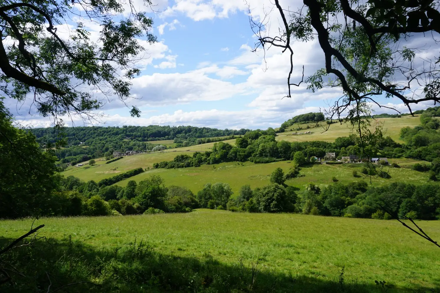
The Painswick Beacon & Painswick Valley walk then takes you down into the valley through lush woodland and across verdant fields with lovely views of the Cotswold countryside. You follow part of the Wysis Way, a long-distance trail linking Monmouth in Wales to the Forest of Dean, the Severn Vale and the Cotswolds.
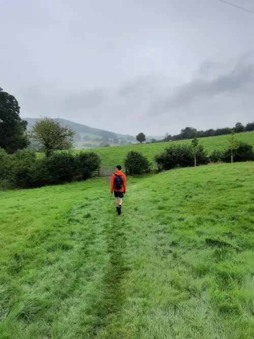
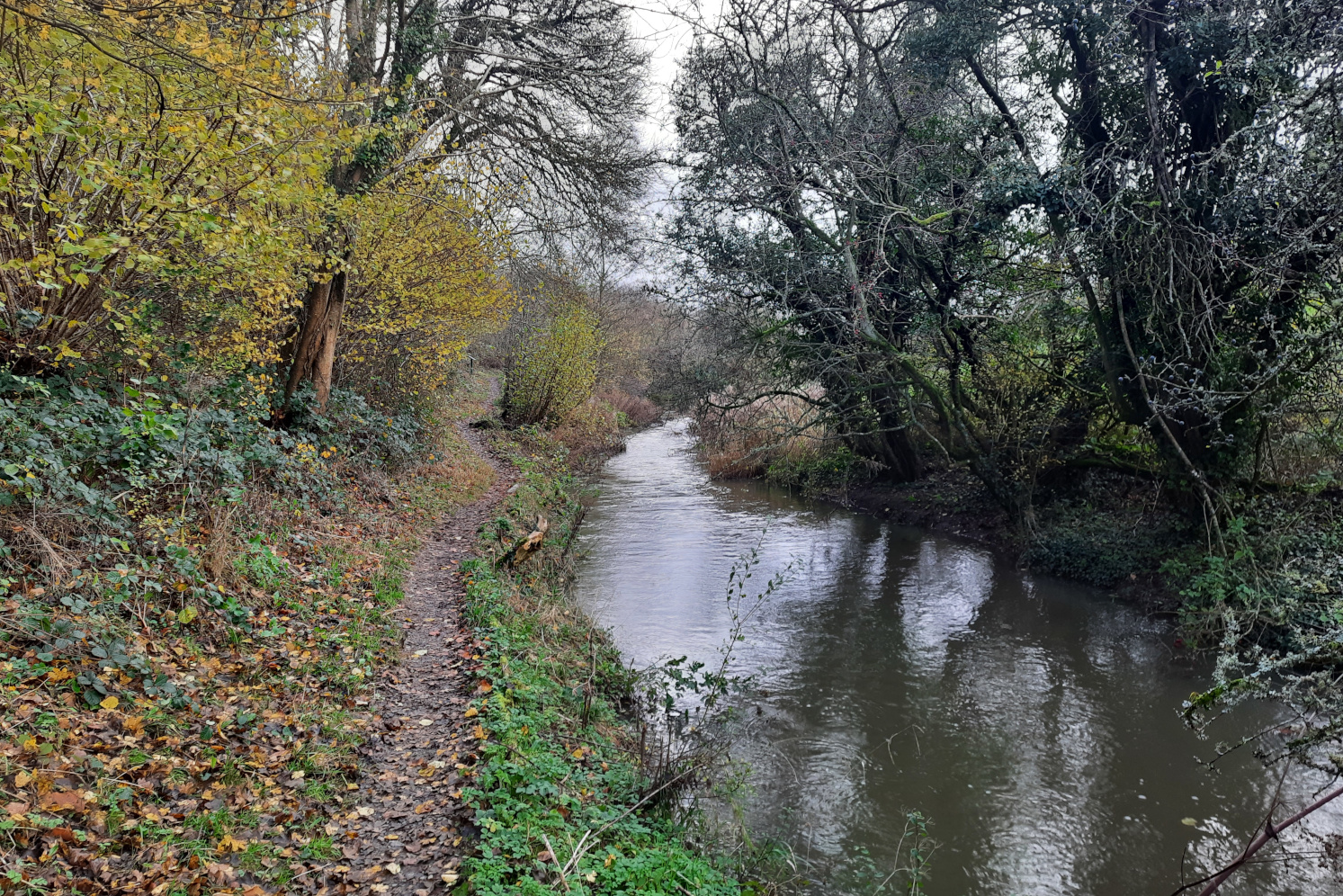
Once you reach the bottom of the valley, you follow an enchanting brook through lush woods. This Cotswold walk then leads you across further fields and back up the hill, where you can spot quaint cottages on the outskirts of the village. You then walk along the streets of Painswick and make your way back to the heart of the village.
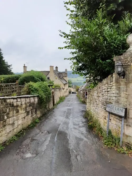
As you walk along the town streets, you can explore the Cotswold village of Painswick once more. From Vicarage Street to Bisley Street and New Street, you can admire a plethora of quaint cottages lining the picturesque streets and spot the loveliest honey-coloured cottages. If you wish to explore Painswick further, you can find the Painswick travel guide.
Painswick Beacon & Painswick Valley walk itinerary
1. From Stamages Lane car park, turn right onto New Street, then left onto Gloucester Street. At the intersection, turn left onto Gloucester Road, then take the second right onto the Cotswold Way. Following the signposts for the Cotswold Way, veer left onto the track and cross the car park.
2. Veer left onto the road and left onto the track, then immediately right, following the signposts for the Cotswold Way. Cross the golf course and veer right, still following the signposts. Go through woodland, past the quarry and continue along the pebble road. At the intersection, continue straight ahead onto the road.
3. Before you reach the car park, turn right onto the path, still following the signposts for the Cotswold Way. Shortly after, veer left onto the earth path and aim for the top of the hill, keeping the trees to your left. At the top of the hill, you’ve reached Painswick Beacon.
If you wish to combine this walk with the Painswick Beacon, Coopers Hill & Painswick Valley walk: After reaching the Painswick Beacon trig point, continue straight ahead down the hill and turn right onto the path between the trees and the golf course. From the Painswick Beacon, Coopers Hill & Painswick Valley walk itinerary, follow steps 2 to 9. Then cross over a stile and turn left onto the pebble road. Jump to step 8 of this walk itinerary to make your way back to the village of Painswick.
4. Once you’ve explored Painswick Beacon, retrace your steps, and follow the same path down the hill and back to the Cotswold Way. Turn right onto the Cotswold Way and then left onto the road. At the intersection, veer left and take the downhill woodland path, this time following the signposts for the Wysis Way.
5. When you reach the road, cross it and turn left. At the intersection, turn sharply right and then veer left onto the path, following the signposts for the Wysis Way. Cross over the stile and turn right, following the man-made path and keeping the fence to your right.
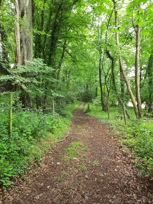
6. Before you reach the house, turn left onto the man-made downhill path. Cross over the stile and veer left, then cross the brook and veer right across the field. Go through the gate onto a woodland path and cross over the stile on your right. Go through the kissing gate and cross the field, aiming for the next gate.
7. Cross the bridge, go through the gate and veer left, following the man-made path. Go through the next gate and continue straight ahead, then cross over the stile and turn right onto the pebble road.
8. Go through the gate and turn left onto the road. After the house, turn right onto a woodland path, still following the signposts for the Wysis Way. Cross over the stile and keep the brook to your right and the fence to your left. Go through two gates and at the second gate, turn right and cross the field, keeping the fence to your left.
9. Go through the gate and continue along the path, then go through the following gate and continue along the pebble road. When the road bends right, cross over the stile on your left and continue straight ahead, following the man-made path.
10. Cross over the stile and veer right, aiming for the houses and keeping the hedge to your right. Cross over the next stile and turn left onto the road. At the intersection, turn left onto Lower Washwell Lane and continue straight ahead onto Vicarage Street and Bisley Street. Turn left onto New Street and make your way back to the car park.
Download walk itinerary pdf: Painswick Beacon & Painswick Valley walk by adragonsescape.com
Find the walk map and download the GPX file: Painswick Beacon & Painswick Valley walk on outdooractive.com
Painswick Beacon & Painswick Valley walk details
Location: Painswick, Gloucestershire
Walk difficulty: Easy
Time: 1 ½ to 2 hours
Distance: 4 miles (9.6 km)
Ascent: Somewhat steep
Trail condition: Good, but the trail can get muddy in wet weather
Accessibility: Not suitable for pushchairs, wheelchairs or bikes
Parking: Stamages Lane car park (GL6 6UZ – free for first 23 hours)
Facilities: Toilets, shops and pubs in Painswick
Notes: Please be mindful of livestock and keep your dogs on a lead
Explore more: Walks in the Cotswolds
For a Sunday stroll, a pub walk or an escape to the beautiful countryside, the Cotswolds are a delight to explore on foot. From the Bisley-with-Lypiatt walk to the Coaley Peak & Selsley Common walk, the Cotswolds boast enchanting country scenery and offer the most peaceful escapes. Find walks in the Cotswolds.
Share this guide:

